
The Assam government has floated a tender to procure satellite-based services to enhance flood monitoring and strengthen border surveillance, according to a report by The Hindu.
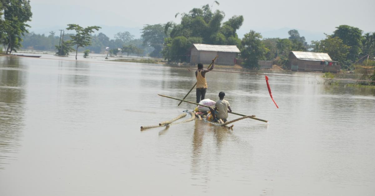
The initiative aims to use satellite imagery and geospatial technology to generate real-time data on flood patterns, river flow, and vulnerable regions across the state. Assam, which faces recurring floods due to the Brahmaputra River and its tributaries, is seeking to improve its early warning systems and disaster response capabilities.
Officials said the proposed system will help track water levels, erosion, and inundation zones with greater precision. This is expected to aid authorities in planning timely evacuations, managing relief operations, and protecting critical infrastructure.
Apart from flood management, the satellite system will also be used to monitor sensitive border areas. It will assist in detecting encroachments, tracking illegal activities, and observing terrain changes, thereby strengthening coordination between administrative and security agencies.
The move comes as part of the state’s broader effort to adopt advanced technology in disaster management and security, amid increasing challenges posed by climate change and border concerns.
- Log in to post comments